Even though the days were warm and pleasant, it was pretty chilly when I got up on Wednesday morning; I was glad I had talked myself into bringing the heated gear. Â Though, honestly, I’m such a weenie and am cold when it’s 71 degrees out, so I should just bring it everywhere I go.
I had breakfast at the Paso Robles Inn’s coffee shop, where a very talkative man named Erik sat by me at the counter. Â He was very nice and did a lot of driving around California for both his job and his wine-making hobby, so we compared notes about favorite roads and vistas.
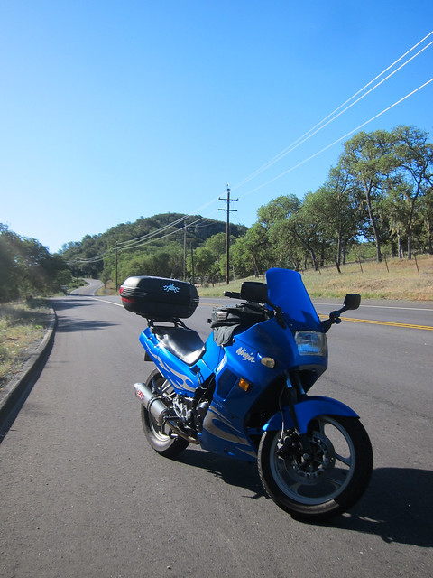
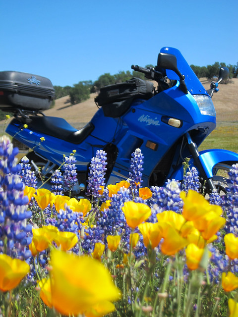
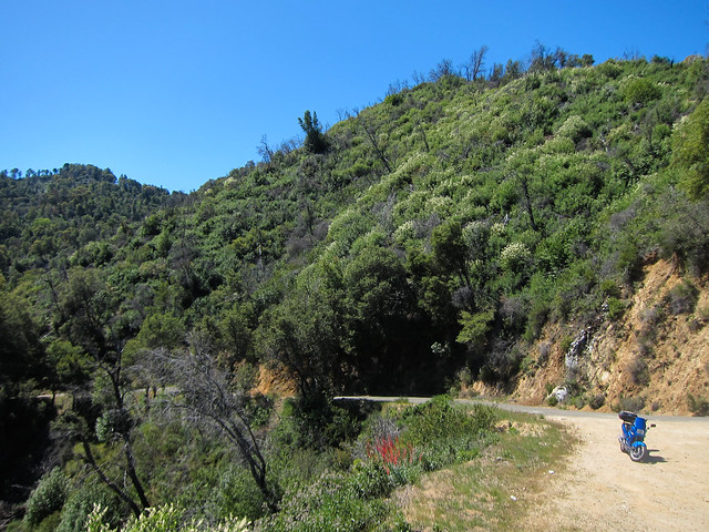
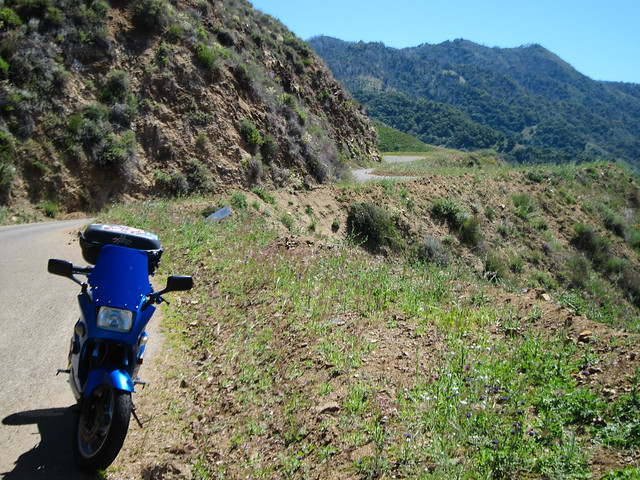
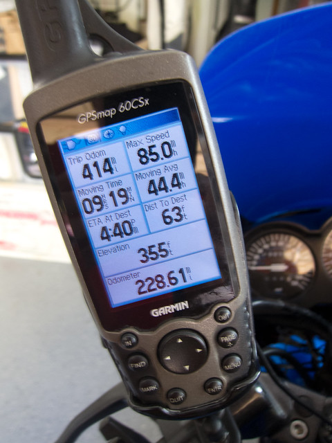
Heading out of Paso Robles on Nacimiento Lake Drive, I realized I’d taken very few pictures of the Ninjette on the trip so far. Â Oops!
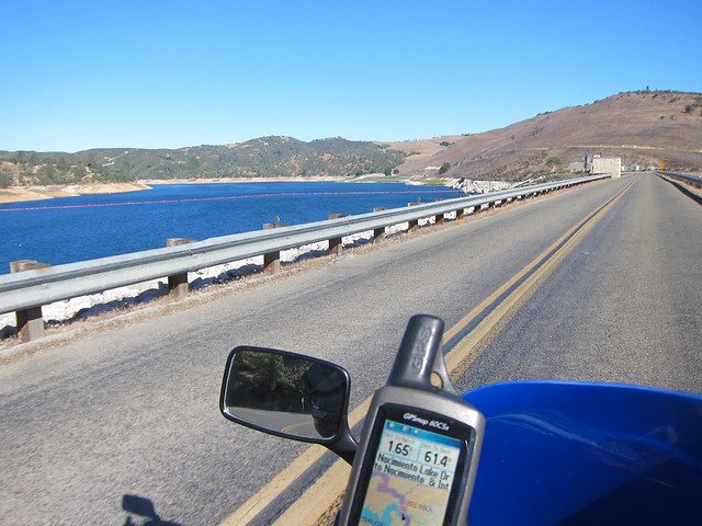
Lake Nacimiento was formed by a dam of the same name and is used heavily for fishing and other water recreation. Â For some reason, there weren’t a lot of people out boating and swimming on this chilly, windy morning…
After the lake, Nacimiento Lake Dr peels off northeast towards Highway 101; I took the northwest fork and continued on Interlake Road.
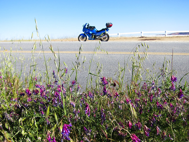
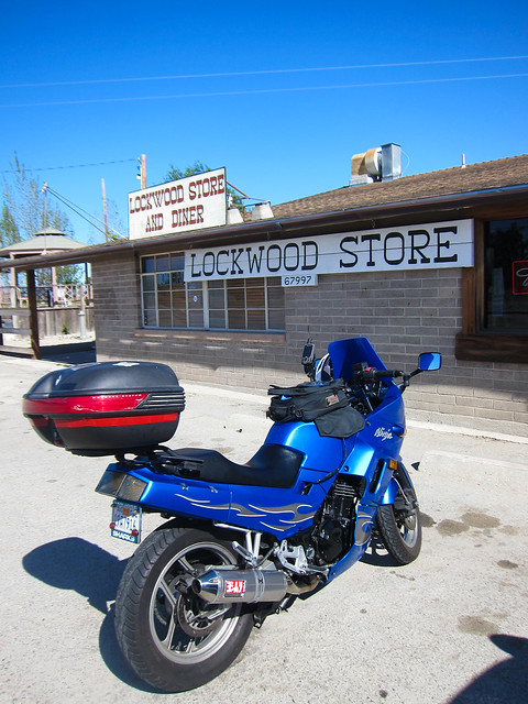
My allergies were really bugging me (probably because I was lying in flowers to take photos like the above) so I stopped in the booming metropolis of Lockwood to chug some OJ and blow my nose. Â The proprietress was running errands in the back for a few minutes; I chatted with her friend Charlie, who was manning the store while she was out. Â I think they were both somewhat surprised to have a customer.
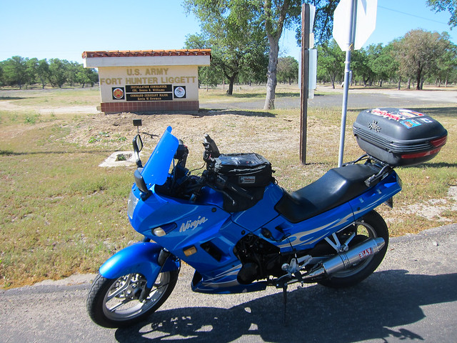
A few miles down the road lies Fort Hunter Liggett. Â The fort provides Combat Support and Combat Services Support to the US Army. Â It’s a live training facility; Â signs warned of possible traffic delays due to field exercises when I rode through, though I was never stopped. Â It’s the largest US Army Reserve command post, though there are only 250 permanent military and civilian residents.
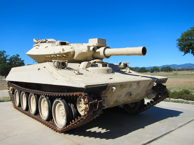
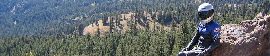
I don’t think I’d win this standoff:

Another cool — and very little-known — thing about the military base is that it houses one of the best-preserved missions in California. Â Mission San Antonio was founded in 1771 and was the third mission started by Junipero Serra.
There are huge fundraising activities going on at the Mission right now because the state of California is requiring a $12 million earthquake retrofit that must be completed by 2015, or the mission will be closed.  According to Wikipedia, there are 35 private families keeping the mission open.

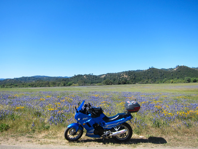
I didn’t take many pictures of the mission itself because I was thoroughly distracted by the flower fields on the drive in. Â I have a huge love for poppies and the purple…bluebonnets? Â Not sure what the other ones are…made a great color contrast. Â I made my allergies angry again by spending a lot of time crawling around in this field.

There were signs around the mission warning of rattlesnakes, which I cheerfully chose to ignore while crawling around in the flowers; not a quarter-mile away, a HUGE rattlesnake lay in the road. Â I couldn’t get a photo in time, but it made me think that perhaps I should pay more attention to the signs next time. Â Eh, probably not.
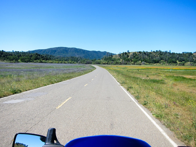
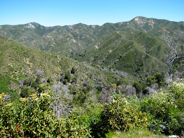
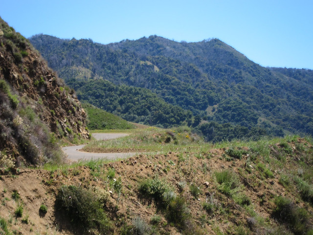
After the military base, Nacimiento-Fergusson Road heads towards the coast over the Santa Lucia Mountains. Â The Santa Lucias are part of the Coast Range that stretches from Alaska to Mexico (my local Santa Cruz Mountains are also part of the Range) and Nacimiento-Fergusson is the only road that crosses the mountains.
Heading towards the Santa Lucias:

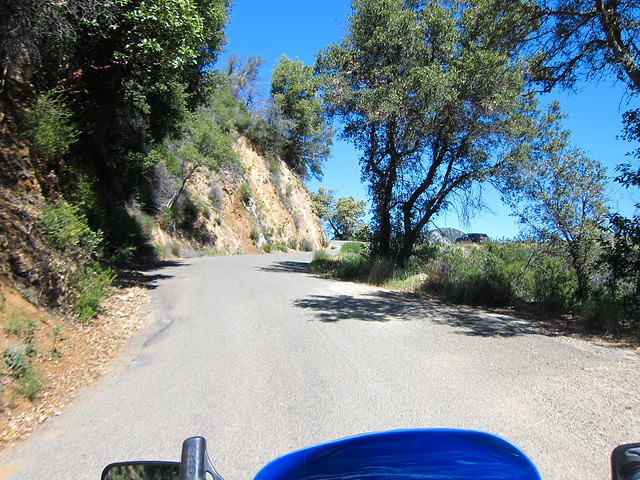
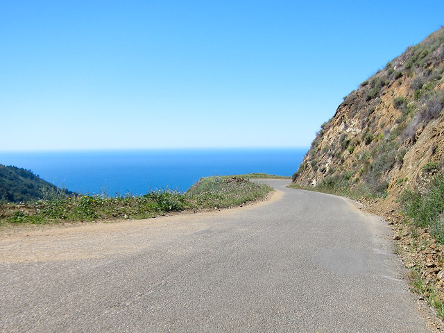
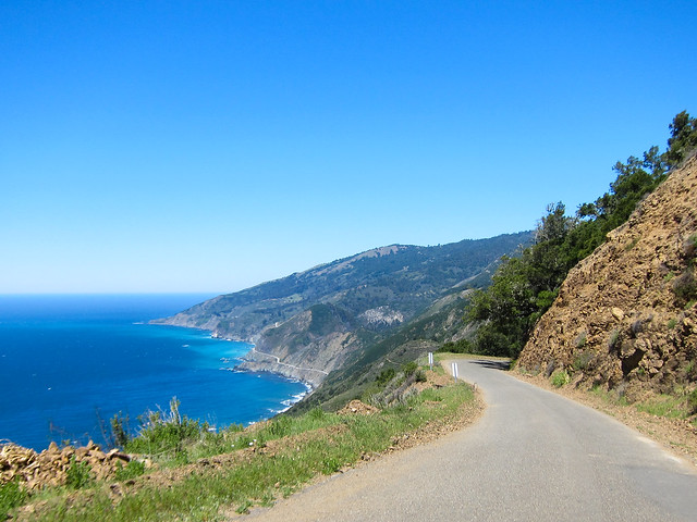
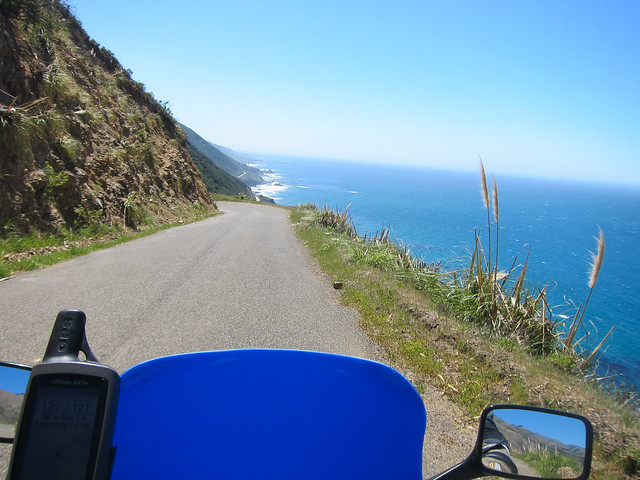
After the crest of the Santa Lucias, the road heads dramatically towards the coast. Â The ocean is bright and wonderful around every bend and fortunately, there was very little traffic so I could enjoy the view.

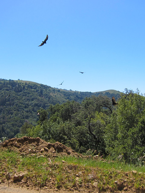
It’s always a little disconcerting to see vultures circling around…
You can see Highway 1 hugging the hillside along the coast far below Nacimiento-Fergusson Road:
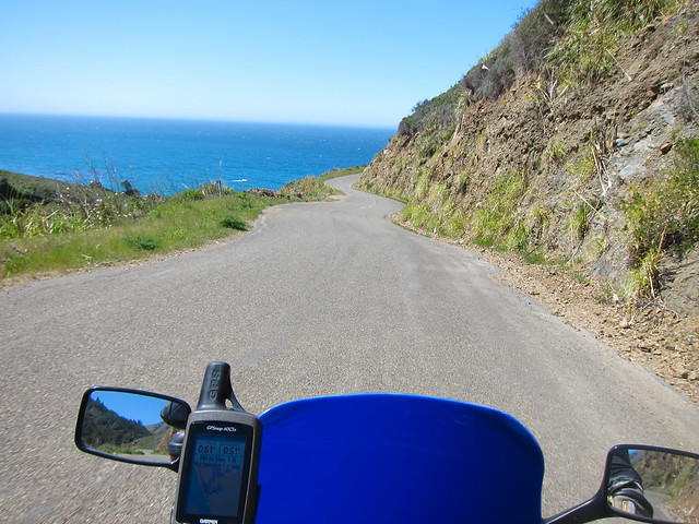
OK, that was a lot of pictures from Nacimiento-Fergusson Road, but I think you can see why. Â It’s an amazing road, especially east to west. Â I love being in the flatlands and foothills near the military base, then climbing over the hill, and BAM, there’s the ocean. Â It just takes my breath away.
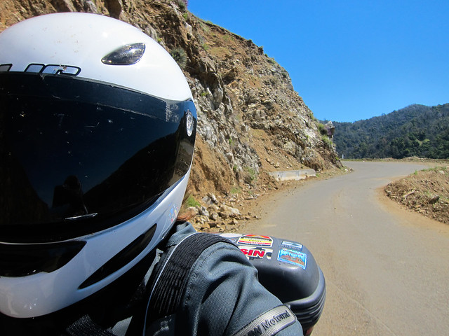
I didn’t take many photos on the rest of the ride; I headed straight up Highway 1 from the intersection with Nacimiento-Fergusson all the way up to Santa Cruz (just about 100 miles). Â I stopped for lunch at the Lucia Lodge, in Lucia — go figure — which had a good BLT.
It was starting to get quite windy so the riding was more strenuous, especially on the little Ninjette. Â Around Monterey, there were a few times where I was actually concerned that a wind gust was going to sweep the bike out from under me at 60mph. Â I’ve been in some nasty winds before (New Mexico, I’m looking at you) and I’d never truly thought that before…dunno if it was just the lighter weight of the Ninjette or if I’m out of practice (or both) but it was very disconcerting.
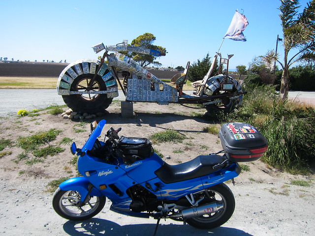
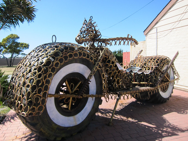
I stopped in Moss Landing to photograph the motorcycle sculptures for the Equinox to Equinox Rally:
And that was pretty much that; I took the interstate home (at a significant listing angle due to the wind) and arrived home at almost exactly the same time as Peter and my in-laws got home from the grocery store. Â Hooray! Â A fun ride, a nice night out, and I avoided having to go to the store! Â A win all around.
One Response to A ride to Paso Robles: Day 2