This past Tuesday, I hopped on el interstato down to the booming metropolis of San Juan Bautista. Â It’s a small agricultural town of about 1800 people in San Benito County. Â It has a pretty impressive historical background, which made it a good destination for an Equinox to Equinox Rally ride.
Beautiful downtown San Juan Bautista:

Who says history is boring? Â This is a two-story outhouse in back of the Plaza Hotel. Â Women and children used the upper hole; men the lower.

In addition to the outhouse (which I cleared with the Rally grand poombas as being acceptable as a “roadside statue/attraction”), I photographed the Mission San Juan Bautista (historical marker), Castro Adobe (historical marker), Plaza Hotel (historical marker), the town post office, and the city hall. Â This will increase my score by a whopping 27 points. Â Since I’m currently in like 2 millionth place, this is important. Â 😀

After a quick lunch at The Pizza Factory (which I believe I’ve eaten at 100% of the times I’ve stopped in San Juan Bautista), Â I headed for the back roads up Fremont Peak. Â My excuse was that there’s a historical marker up there — 5 more points! — but really I just wanted some nice twisty roads to interject into my day of freeways.
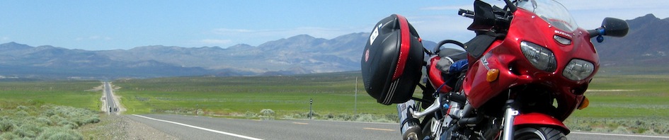
This brings us to the June 18 edition of “So, hey, how was your Tuesday?”:


Fremont Peak sits at 3173′ elevation and is a summit in the Gavilan Range. Â It’s somewhat amusing (at least to us history buffs) that two of the historical markers in San Juan Bautista are for Castro (the adobe in town) and Fremont, given the story of the peak:
“Previously called Gavilan Peak, it is now named for John C. Frémont, an American explorer and a Captain in the U.S. Army Corps of Topographical Engineers.  In 1846, he and a crew of 60 armed surveyors mounted the peak to assess its military value. The peak commands the inland approach from Monterey. As a response to the threat, local Mexican authority General José Castro ordered Frémont and his men to leave California. In defiance, Frémont built a crude stockade and raised a modified American flag above the peak. The U.S. Consul in Monterey, Thomas Larkin, supported Castro’s decision to evict Frémont, and his men were duly ordered out of the area.”
(Citation from http://en.wikipedia.org/wiki/Fremont_Peak_(California) with some minor grammatical errors corrected)
The ride down has some pretty amazing views of Salinas Valley.

(Trivia: the above view is also the tag for the first-ever Sport-Touring.net Bay Area photo tag.)
The Hollister Hills Off-Road park and its miles of dirt trails are also very visible on the descent:

When I got back down into San Juan Bautista, I decided to take Highway 129 west over to Watsonville and then Highway 1 up to Santa Cruz instead of taking Highway 101 straight north (I’d taken 101 south that morning). Â This was a wise choice; there was some traffic but not a ton, and the following view is always preferable to an eight-lane interstate:

Ride stats:
