Saturday, November 22: San Carlos – Clearlake
Colleen and I had plans to ride around the North Bay on Saturday. We sketched out a couple of fun-looking dualsport roads and then thought, hey, why not make a weekend out of it?
We met at Nini’s in San Mateo. I really like Nini’s food (not greasy!) and atmosphere (quirky small-town diner).

We wanted to get up to the Napa area as soon as possible, so we hopped on the freeway. The Bay Bridge was surprisingly light on traffic and we pulled into Napa a little over an hour after leaving Nini’s.
From Napa, we took Hwy 121 northeast towards Lake Berryessa. “Napa” means “land of plenty” in the native Wappo language and it’s easy to see how the valley earned its name.
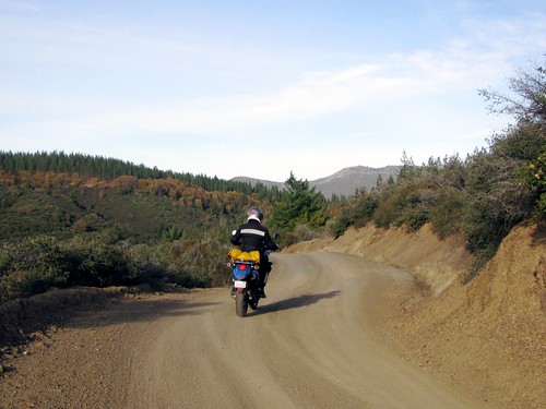
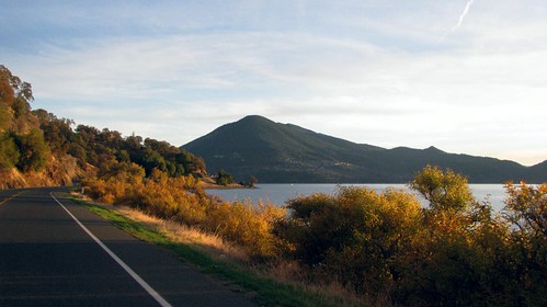
We turned north onto Berryessa-Knoxville road for a quick jaunt up the western edge of Lake Berryessa. There are a frustratingly small number of views of the lake along the road, so we stopped at the intersection of Berryessa-Knoxville and Pope Canyon Roads for a rare vista point.
The lake is very low right now, which isn’t good for late November. Vacaville, Suisun City, Vallejo, and Fairfield all get their water supply from Lake Berryessa and we’re going to have a nasty winter and next summer if it doesn’t start raining soon. Dry weather is great for motorcyclists, but not that great for sustaining communities.
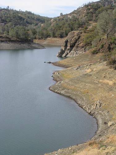
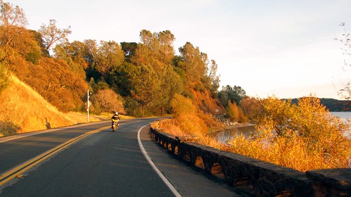
Berryessa-Knoxville Road soon narrows and turns to rough pavement. In the winter and spring, there are numerous creek crossings (even though the road is ostensibly paved) but, again, the dry weather makes the crossings non-events.
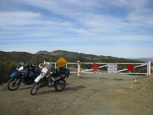
We turned onto Reiff Road with the intent of heading east over to Highway 16.
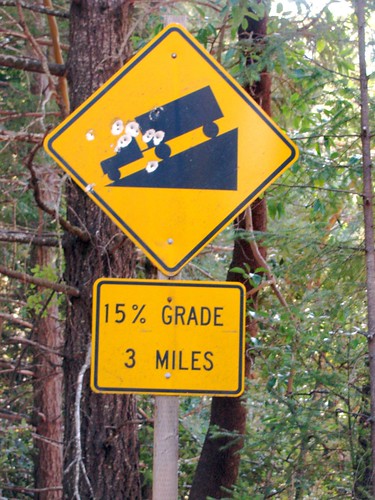
Unfortunately, Reiff Road seems to be permanently gated now at the Lake/Yolo county line. It’s always been closed seasonally…here’s hoping that it returns to that status. We had a lot of fun on Reiff up until the gate and I’d love to return and ride it all the way through sometime.
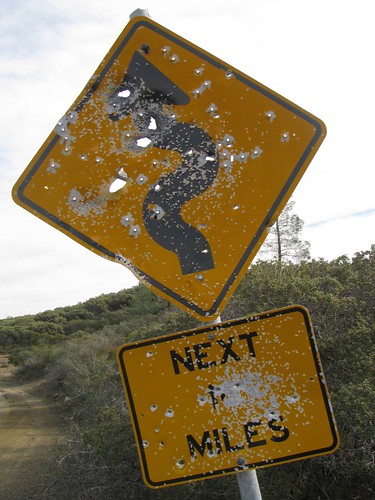
Sad picture:
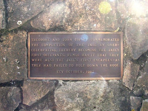
We retraced our steps back to Berryessa-Knoxville Road and rode into Clearlake for lunch. A quick stop at a historical marker in Lower Lake made me giggle:

Lunch was Cabo’s in Clearlake; the food was OK but I really liked the decor. Next time I’ll try something other than the side order of chicken burrito — the size was perfect (small) but it only came with chicken and tortilla and was thus a little bland.

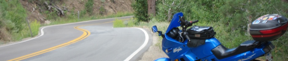
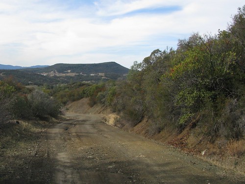
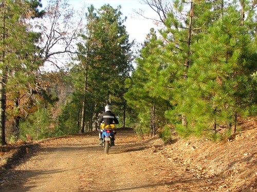
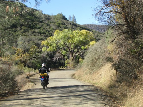
OK, enough lollygagging around — time to find some dirt roads! Happiness came quickly in the form of High Valley Road leading north out of Clearlake.
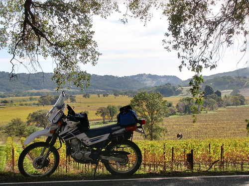
Even the early paved sections are fun to ride, as Colleen demonstrates by modeling some of the ubiquitous vineyards.

Ahhh, this does not suck.

This past summer’s fires were evident everywhere. I think this area was part of the Walker Fire that burned over 14,000 acres over a week in June. The fire was caused by a vehicle whose metal undercarriage struck a rock. Oops.

Did I mention that this did not suck? It was absolutely fantastic riding all the way around.

At the end of High Valley Road, we turned east for a few miles onto Bartlett Springs Road. In an ideal universe, we’d have taken it all the way over to Indian Valley Reservoir, about 20 miles or so, but the sun was already getting low. We decided just to play around for a few miles and then head back to Clearlake to our hotel.
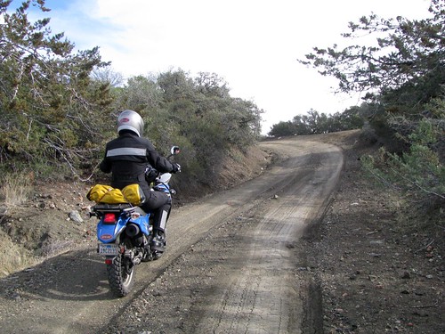
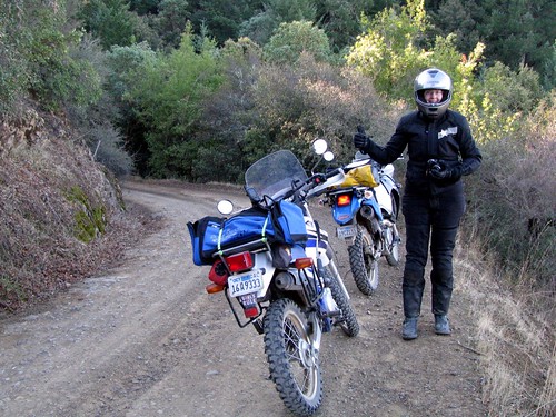
We made a quick side jaunt onto a road that my GPS claims is called NF-17n01d; hey, why not? It was an awesome trail full of washouts, deep ruts, and mud…all covered with fallen leaves! We had a blast but, when we came to a fork in the road a mile or so in, decided to turn around rather than risk getting lost in the mountain woods at night.

More playing around on Bartlett Springs Road ensued…
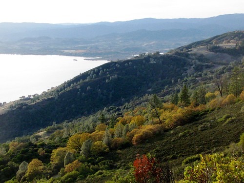
When we got back to the intersection of Bartlett Springs and High Valley Road, we took the downhill turn onto Barlett Springs that winds its way back down the hill and towards Highway 20.

The setting sun made for some great views of Clear Lake down below us.

Even though we were back on pavement, how could I complain about Hwy 20 when I got scenery and lighting like this??

We pulled into the El Grande Best Western in Clearlake just as the sunset was fading.
The highlight of the night is hard to choose: fun conversation with the older couple manning the hotel bar? Making fun of Con-Air, our television entertainment? Or catching the second half of the 3rd period of the Sharks game, cementing our victory over the Capitals, 7-2? Ah, such choices.
Sunday, November 23: Clearlake – San Carlos
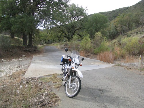
The XT has no Gerbing hookup, so I’d brought along a bunch of super-cold-weather gear like a fleece balaclava, neck warmer, overgloves for windbreaking, etc.
Much like bringing an umbrella guarantees sunshine, my extra stuff went unused as it was 50F as we pulled out of Clearlake in the morning.
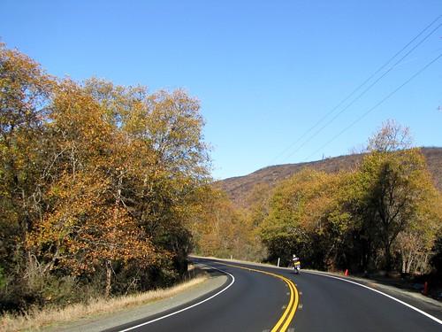
We headed south back to Lower Lake, then took Highway 29 northwest towards Kelseyville.
A few backroads later and we were on Highland Springs Road, a great little winding path that starts out at the Highland Springs Reservoir. Nearby Highland Springs Recreation Area boasts excellent fishing, equestrian activities (we did see a few horses and trailers), and, apparently, a challenging 18-hole Frisbee golf course!
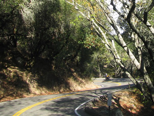
For us, though, it was all about the roads. Shortly after turning west onto Highland Springs, the pavement ended, leaving us miles of great dirt roads winding through Lake and Mendocino counties.
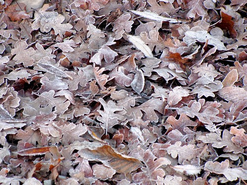
The shaded areas of the hills reminded us that, despite all other evidence to the contrary, it was getting on towards winter.
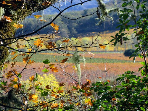
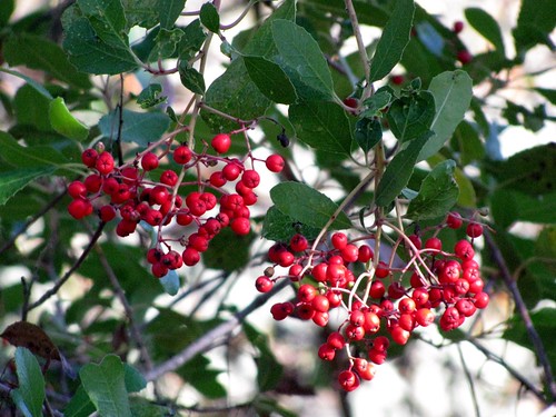
The trees in the area were fantastic and I stopped for a lot of photos.
These reminded me of the Spanish Moss that I saw this past summer in Louisiana.

Colleen says “this does not suck!”

A couple of colorful photographs just because, hey, I took them and I pay for the web hosting:
Highland Springs Road, which changes its name to Old Toll Road, comes out onto Hwy 175 at the foothills of the Myacmas Mountains.
This coastal range extends southeast from here for about 50 miles, into Napa and Sonoma counties.

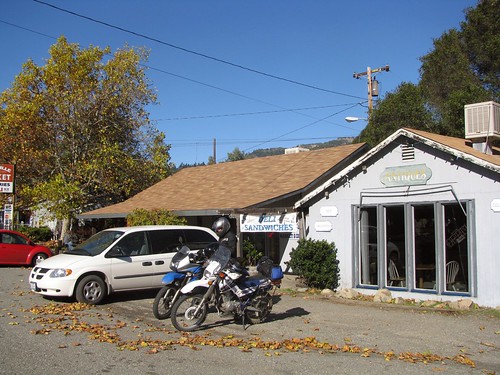
By this time, I was pretty well starving to death and would happily stop anywhere that looked even remotely like a restaurant or grocery store. Fortunately, while heading northwest on Hwy 128, we came across Yorkville, population 317 (up from 25!).
The Yorkville Mini Market and Deli was a good place for a simple turkey sandwich and a pleasant resting spot. I like tiny small town markets and this was definitely no exception.
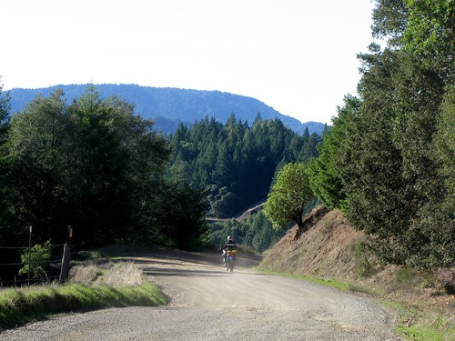
The last dirt road of the trip was Fish Rock Road, which runs east-west and connects Highway 128 with Highway 1.
Maillard Redwoods State Preserve is a 242 acre area full of, you guessed it, redwood trees.

After the Preserve, the views open up back to valleys and ridges and the pavement ends.
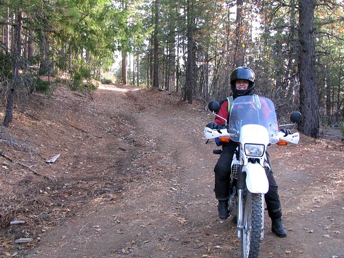
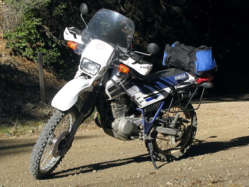
A glamour shot of the XT, just because:
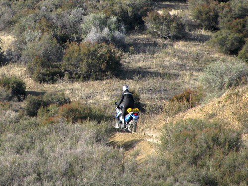
Always a fun sight to see on a dirt road:
From Gualala, which is probably the best town name in California to say, it was all Highway 1 for about 80 miles.
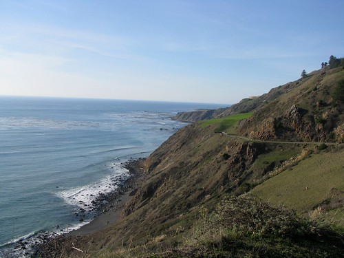
This is one of the most historically interesting parts of the coastline, mostly because it was barely noted at all in explorers’ logs. The cliffs from this area up to Oregon are largely unbroken and offered no place for ships to land, and so explorers and traders simply passed by to Humboldt in the north or Bodega Bay to the south.

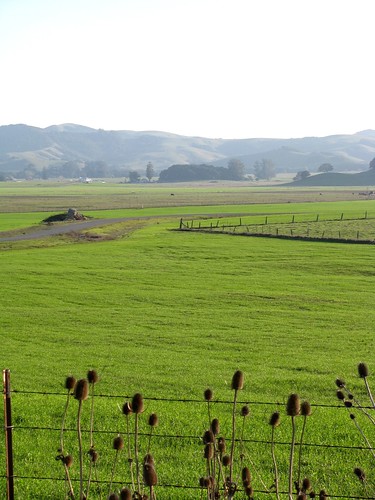
To avoid the end-of-weekend rush that always appears around Point Reyes on the coast, we took the Valley Ford cutoff inland towards Petaluma. The Chileno Valley is already a little green despite not having much rain yet this year.
A quick stop in Petaluma for requisite dairy products….
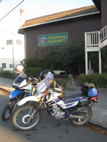
…and then we were pretty much home.

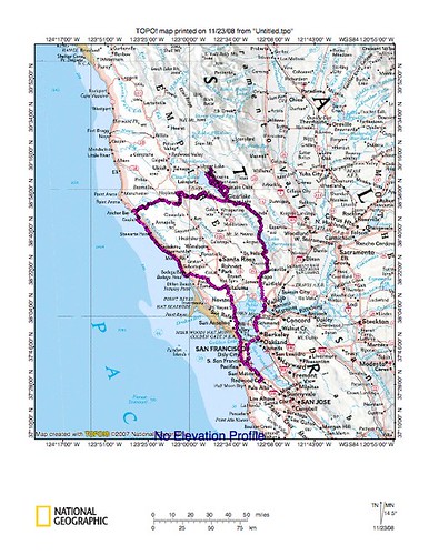
Trip maps: