Friday, October 31: San Carlos – Paso Robles
Time for the Fourth Annual Sport-Touring.net B4TheSnowFlies ride! We’re getting better at planning this weekend; last year it snowed on us, but this year the snow line was still up at 7000′ while we were riding. Maybe next year we’ll actually acheive the “B4” part of the weekend moniker.
Peter and I were in desperate need of vacation, so we took off a day early and rode down to Paso Robles for a Halloween night of hot tubs and relaxation.
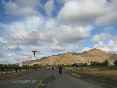
The ride down to Hwy 25 was pretty uneventful. Skies were gray but the roads were dry.
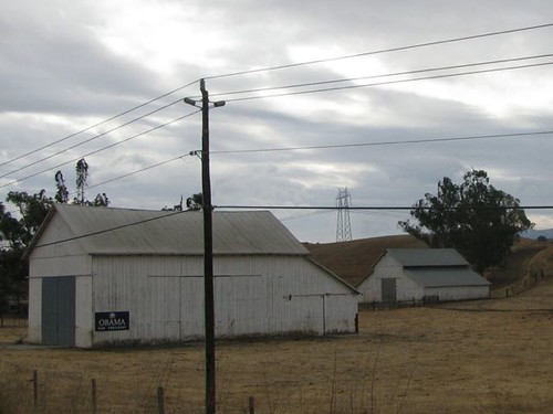
The Central Valley is an interesting place to be on the weekend before a presidential election. We saw this lone barn supporting Obama; I hope he’s not egged and TP’ed too terribly often.
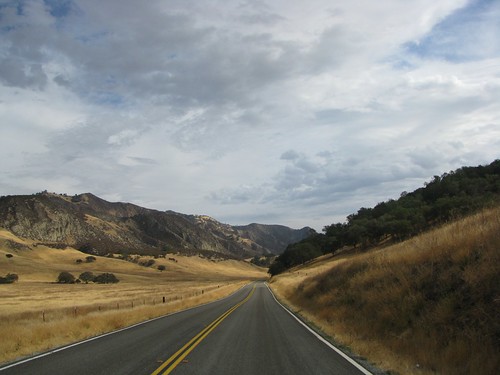
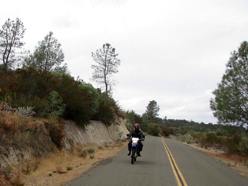
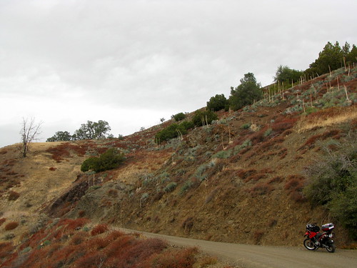
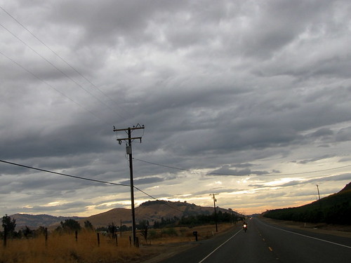
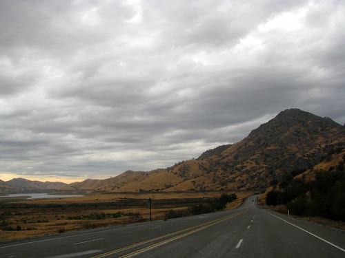
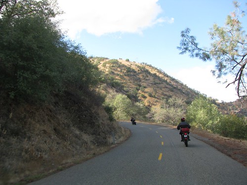
The cloudy skies made for some interesting scenery. I still prefer the bright blue sunshine but, for photographs, this’ll do, too.
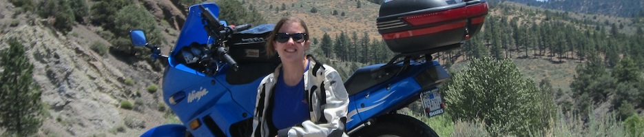
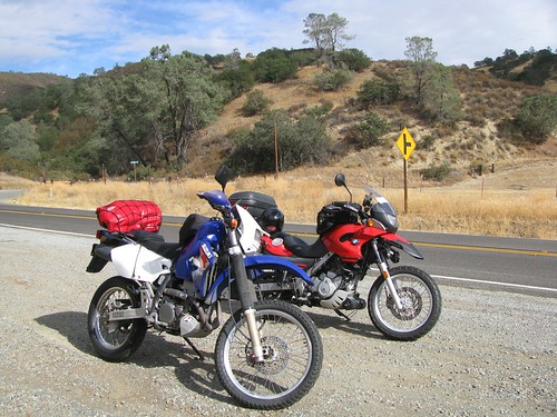
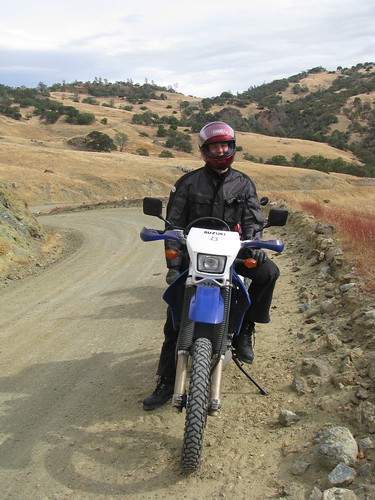
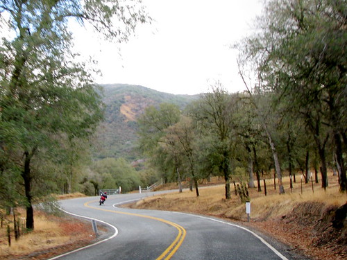
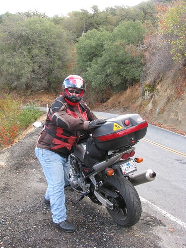
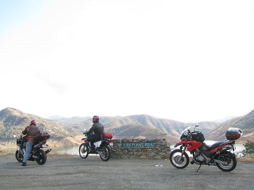
Just to prove we were riding motorcycles:
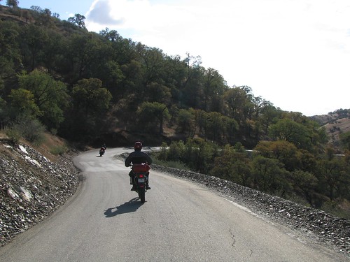
The weather continued to look sketchy and both of us were having a tough time relaxing this early in the trip. At a rest stop, we decided to head to Hwy 101 instead of continuing on back roads to Paso Robles.
Bitterwater Road, which connects Hwy 25 with Hwy 101 in King City, is a fun little back road that I almost never take.

We stopped for a quick lunch in King City, when I remembered that the Paso Robles Inn has spa service! I called the Inn, who confirmed that we could get an in-room “massage for two” later that evening. Success!
We were so excited about the massages that we forgot to gas up in King City. This wasn’t a problem for my Beemer, but Peter’s DRZ sputtered to a stop at the side of Hwy 101 about 3 miles out of San Miguel (there’s literally no gas for a long section of 101, so it’s not like we could have gotten gas after he flipped to reserve).
Fortunately, tipping the bike onto its side and righting it again sloshed enough gas over to the side of the tank with the feed that Peter was able to limp into San Miguel…making this the third California city that Peter has now coasted into on fumes. Oops.
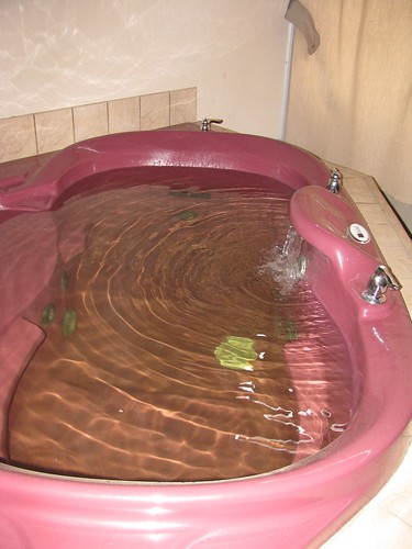
We arrived in Paso Robles with enough time to soak in the room’s private sulphur spring-fed hot tub before our massages (rough life, huh?).
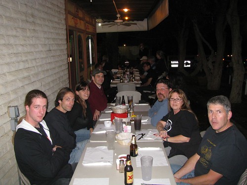
After the in-room massages (which, by the way, were awesome — highly recommended!), we headed to the Inn’s Cattlemen’s Lounge for drinks and dinner. The Lounge has the same menu as the downstairs restaurant but is less formal and has an outside deck to sit on.
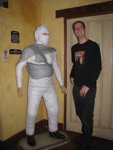
Peter meets a Halloween friend outside the Lounge:
Enjoying a “Twisted Cosmopolitan” and a Firestone Pale Ale (on tap!):

After a wonderful dinner and a great view from the deck of passing trick-or-treaters, we wandered into town to see what Halloween goodies we could find.
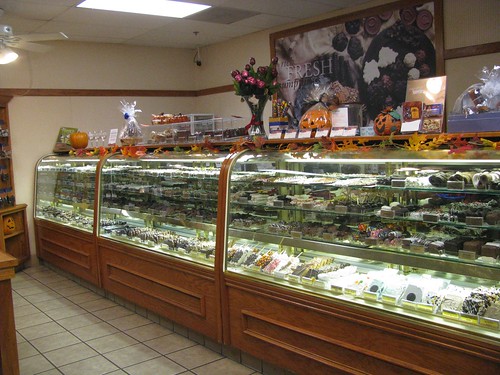
The Rocky Mountain Chocolate Factory didn’t let us down and we left with a scoop of ice cream, some mint bark, and a dark chocolate pecan bar.
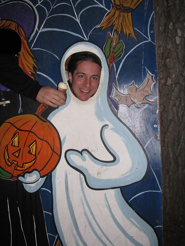
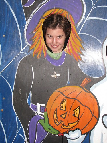
We showed some Halloween spirit at some cutouts that were left in the town square, then wandered back to bed.
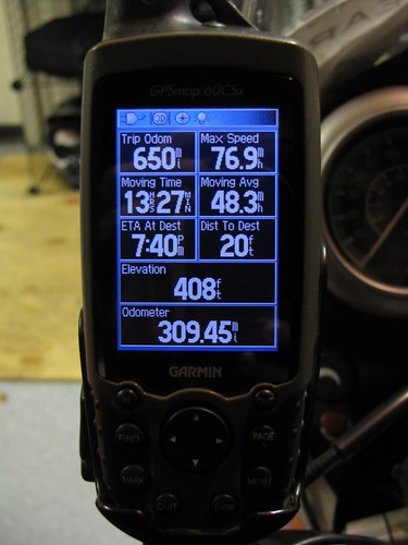
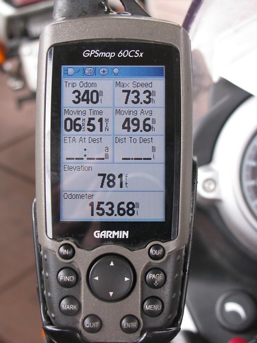
Stats for the day:

Saturday, November 1: Paso Robles – Three Rivers
Peter and I slept in on Saturday morning, had a leisurely breakfast at the Paso Robles Inn coffee shop, then wandered down the street to the Paso Robles Democratic HQ we’d seen the night before.
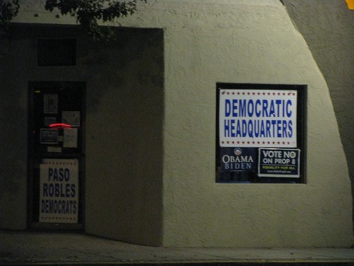
We were hoping to get some No on Prop 8 swag for our trip across the Central Valley, but were pleasantly surprised to hear that it was all sold out. We chatted for a few minutes with the guy working at the headquarters building, then headed back to the hotel to gear up and head northeast.
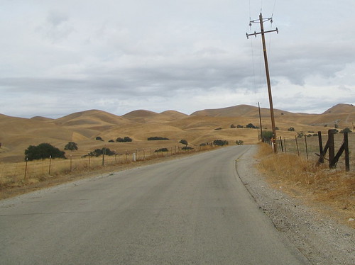
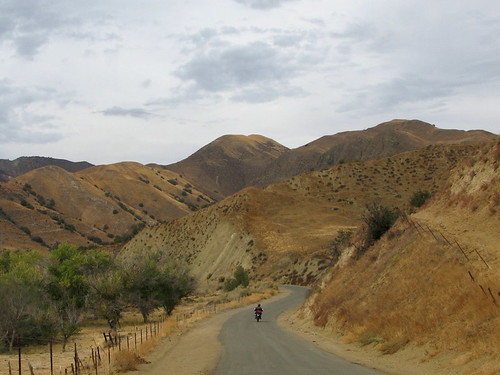
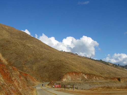
The day started out on Vineyard Canyon Road, twisting through the Cholame Hills, a northern extension of the Tembler Range. It’s a small range, with McKittrick Summit a mere 4331′, but it’s a beauty that also contains Carrizo Plain National Monument.
The whole area was once a marine basin, but is now covered in dry rolling hills thanks to the namesake of the Tembler range: earthquakes.
As we got closer to Parkfield, the slightly higher elevation meant more shrubs and trees with fall colors.

Woohoo, lunchtime!
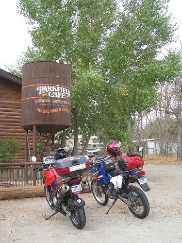
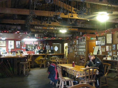
We were the only ones at the Parkfield Cafe, and the waitress came over to tell us about Parkfield’s newest art installation.
Called the Parkfield Interventional EQ Field, it’s “earthquake-triggered machine-driven artwork” and will remain standing until November 16, 2008.
It consists of steel rods, 1/2″ thick and 10′ tall, which move based on California’s seismic events. This happens in near real time for any event greater than a magnitude 0.1.

There was a small earthquake somewhere in California while we watched (no surprise, really) — check out the video.
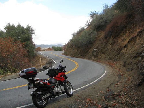
Parkfield Grade was wonderful as always. It’s still the dry season despite a day or so of rain — a welcome change from the last time I rode here in 6″ deep slimy mud!
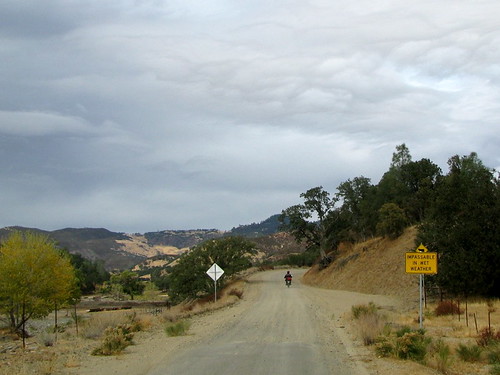
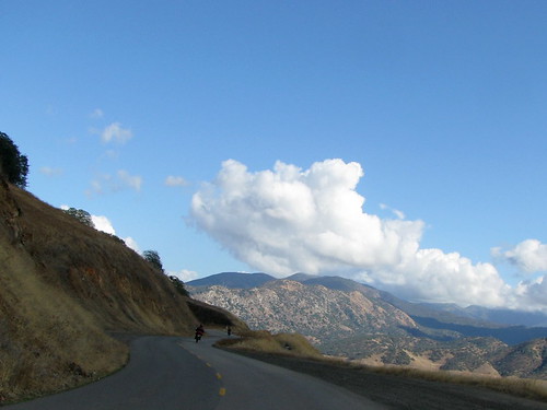
As much fun as the unpaved section of Parkfield Grade is, the paved part is one of my favorite roads in all of California. Glorious twisties, always untrafficked, great views…

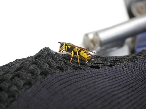
….and there’s always interesting wildlife.
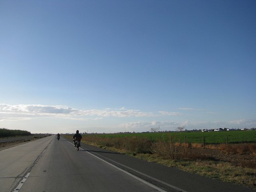
We hopped onto eastbound Hwy 198 in Coalinga and settled in for the long haul across the Central Valley.
There’s really nothing interesting to say about 80 miles of flat, straight farmlands, so let’s skip ahead to east of Visalia.
Clouds do make for great sunsets:
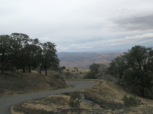
Hwy 198 past Lake Kaweah and into Three Rivers is always pretty, especially when we’re lucky enough to avoid rain. I think this was my only time not getting poured on here — we managed to hit it right between storms. 😉
There were a few bikes already at the Comfort Inn when we pulled up, including Gail’s Cam-Am Spyder! It looks really fun and comfortable.

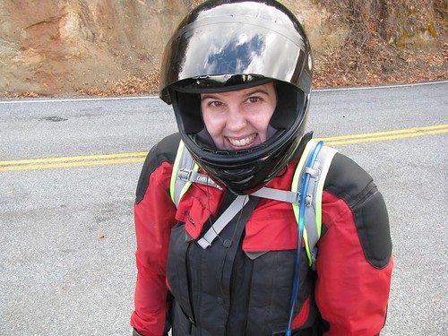
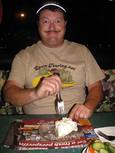
Dinner was at Serrano’s as usual and the spicy chips were as good as always. Peter really was having fun, despite the miserable look on his face in the photo…
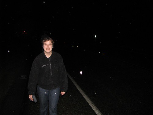
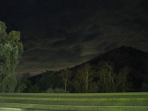
After a few beers and good food, we walked back to the hotel in the rain. Peter and I played around with the long exposure settings on the camera, trying to capture the lightning in the sky, but eventually gave up and we headed for bed.
Stats for the day:
Sunday, November 2: Three Rivers – San Carlos
Thankfully, Sunday dawned warm and mostly clear — and with an extra hour of sleep thanks to the end of Daylight Savings Time!
We had a little group of three for our ride home: me, Peter, and Jim (Explorer). The Generals Highway, which makes a loop through Kings Canyon National Park, was closed due to snow from the previous night’s storm so, once again, we missed the actual park and instead headed north.
CA State Route 245 is a fun rural road that runs north-south along the western edge of the park.
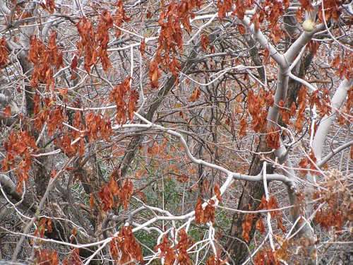
One of my favorite things along State Route 245 is all of the California Buckeye trees. They grow mostly between 1000′ and 3000′ in elevation and grow to be about 40′ tall. In the fall, the orange leaves and white stems make for great scenery.
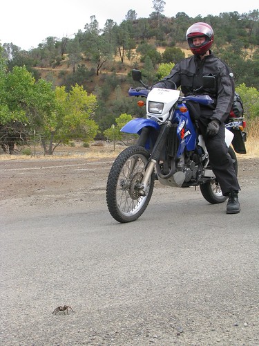
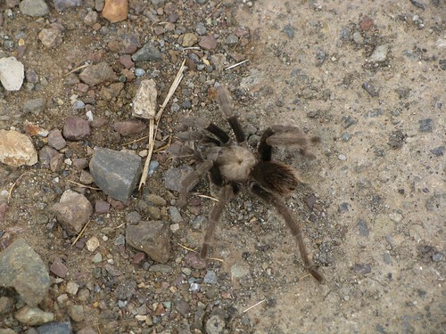
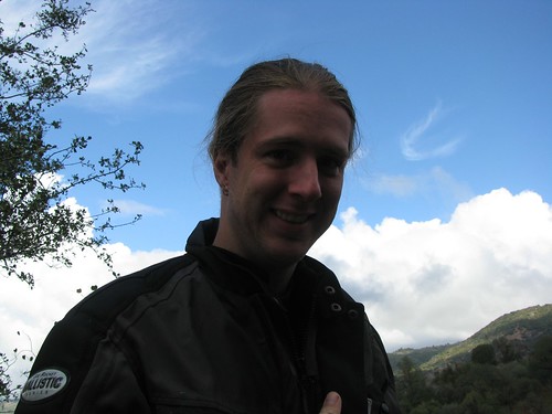
Peter took great pride in photographing a little friend he made at a rest stop; then he photographed me to prove I was actually on the ride. I returned the favor.
Jim got into the action, too:
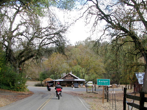
A little bit further along State Route 245 lies the town of Badger, California.
Badger has a population of 140, including a surprisingly strong Hare Krishna following. The town features a Krishna school, the New Braja Village School, and hosts an annual celebration for the spiritual guru Srila Bhaktivedanta Narayana Maharaja.
As we continued up in elevation (Badger is at about 3000′), the roads grew wet and slippery. I slowed down a bunch after coming around one corner to find the road like this:

Lots of wet pine needles and curvy roads convinced me that it’s time to work on the Beemer’s braking system…fishtailing over wet leaves is no fun at all!
After a few miles, we came to the intersection of Dunlap Road. State Route 245 continues on to the northeast; we turned onto Dunlop to head northwest.


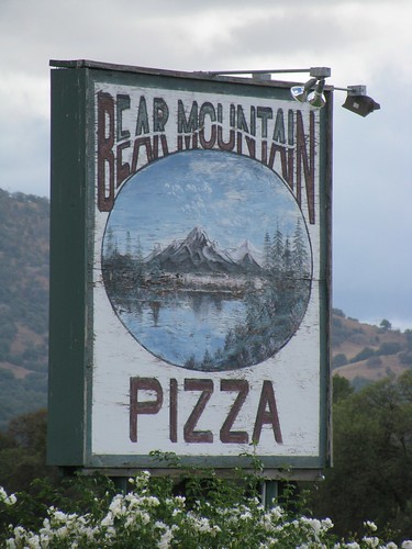
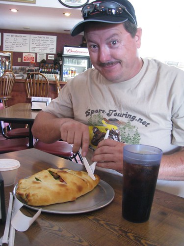
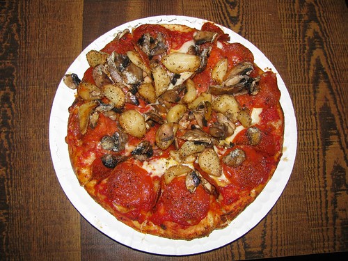
We stopped for a well-deserved lunch at Bear Mountain Pizza off of Hwy 180 in Squaw Valley. The pizza here is awesome and it’s a perfect location to stop and rest for a while. Jim, Peter, and I give it six thumbs up.
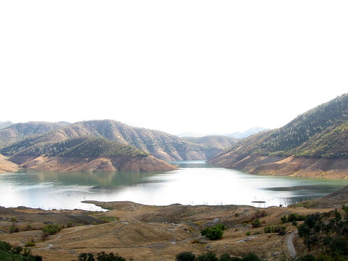
After lunch, Jim took us north on a road which switched names a bazillion times (Elwood to Pine Flat to Trimmer Springs to Maxon to Watts Valley, for those playing along at home). It was a great route that led us along the western edge of Pine Flat Lake, one of California’s largest lakes with nearly a million acre-feet capacity. The lake’s concrete dam was built by the US Army Corps of Engineers in 1954 and houses a 165 MW hydroelectric plant.
The lake level was pretty low, as you can tell in the photo below (look for the horizontal watermarkings on the hills):
We continued on alongside the lake, the hillsides offering some really nice riding.
Unfortunately, all good riding must come to an end, especially when you’re on the eastern side of the Central Valley.
Soon we were amongst the straight, flat, farmlands again, hightailing it back west.
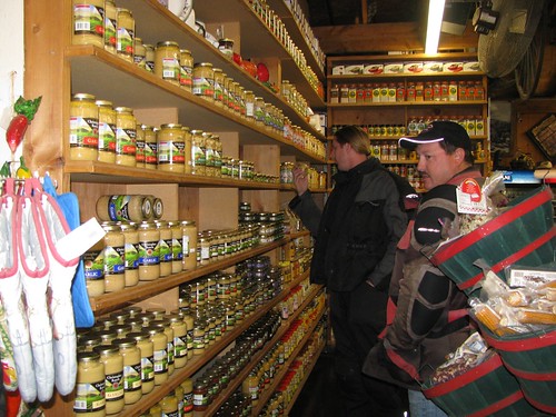
We stopped for dinner at Casa de Fruta, which is pretty much my ideal roadside attraction ever. It’s huge and cheesy and contains vast amounts of produce. All it needs is a musuem and interpretive trail and I would never leave.
The food at the restaurant isn’t gourmet or anything, but they do have fantastic pies.
Peter and Jim inspect the wall of garlic:
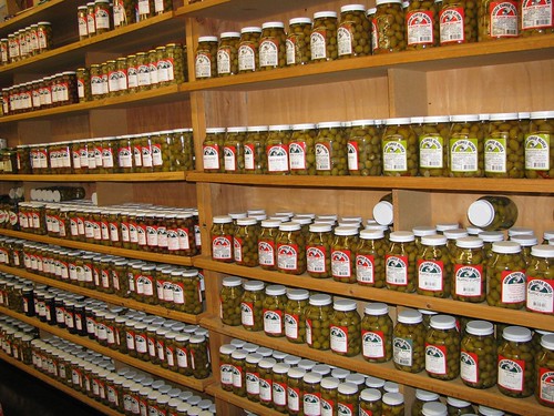
Personally, I prefer the wall of olives:
And then, 70 miles later, we were home. A great weekend; good beer, good massages, good roads, good people. A perfect motorcycling weekend!
Stats for the day: