Weekend to Clearlake
The XT has no Gerbing hookup, so I'd brought along a bunch of super-cold-weather gear like a fleece balaclava, neck warmer, overgloves for windbreaking, etc.
Much like bringing an umbrella guarantees sunshine, my extra stuff went unused as it was 50F as we pulled out of Clearlake in the morning.
We headed south back to Lower Lake, then took Highway 29 northwest towards Kelseyville.
A few backroads later and we were on Highland Springs Road, a great little winding path that starts out at the Highland Springs Reservoir. Nearby Highland Springs Recreation Area boasts excellent fishing, equestrian activities (we did see a few horses and trailers), and, apparently, a challenging 18-hole Frisbee golf course!
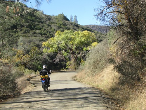
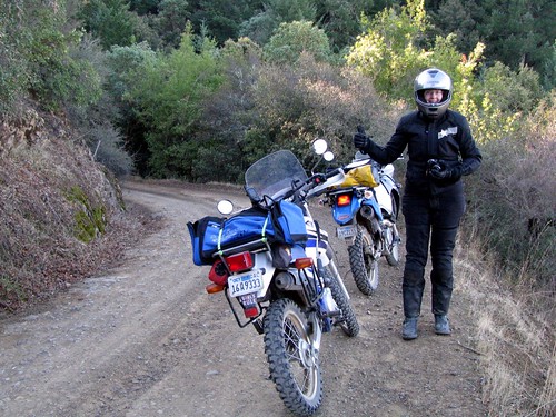
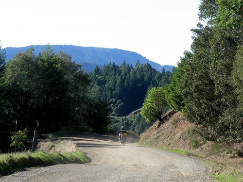
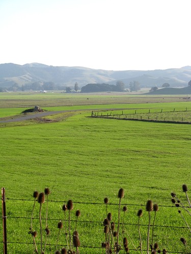
For us, though, it was all about the roads. Shortly after turning west onto Highland Springs, the pavement ended, leaving us miles of great dirt roads winding through Lake and Mendocino counties.
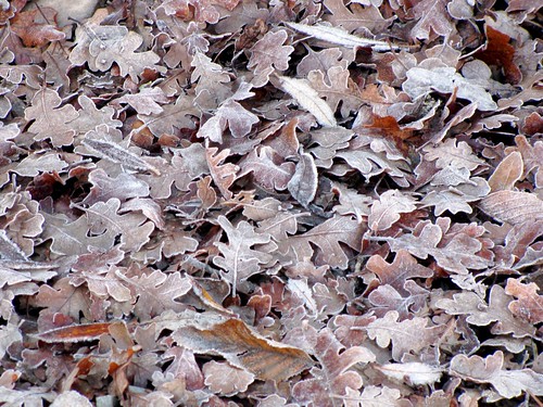
The shaded areas of the hills reminded us that, despite all other evidence to the contrary, it was getting on towards winter.
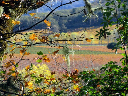
The trees in the area were fantastic and I stopped for a lot of photos.
These reminded me of the Spanish Moss that I saw this past summer in Louisiana.

Colleen says "this does not suck!"

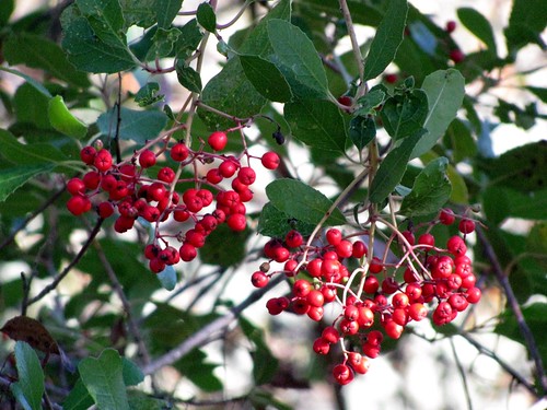
A couple of colorful photographs just because, hey, I took them and I pay for the web hosting:
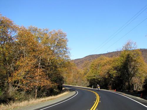
Highland Springs Road, which changes its name to Old Toll Road, comes out onto Hwy 175 at the foothills of the Myacmas Mountains. This coastal range extends southeast from here for about 50 miles, into Napa and Sonoma counties.

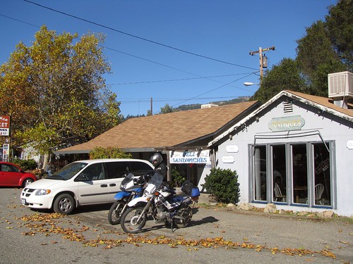
By this time, I was pretty well starving to death and would happily stop anywhere that looked even remotely like a restaurant or grocery store. Fortunately, while heading northwest on Hwy 128, we came across Yorkville, population 317 (up from 25!).
The Yorkville Mini Market and Deli was a good place for a simple turkey sandwich and a pleasant resting spot. I like tiny small town markets and this was definitely no exception.
The last dirt road of the trip was Fish Rock Road, which runs east-west and connects Highway 128 with Highway 1.
Maillard Redwoods State Preserve is a 242 acre area full of, you guessed it, redwood trees.

After the Preserve, the views open up back to valleys and ridges and the pavement ends.
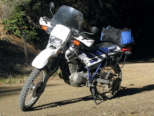
A glamour shot of the XT, just because:
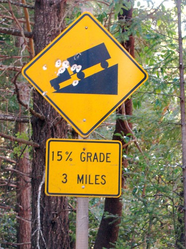
Always a fun sight to see on a dirt road:
From Gualala, which is probably the best town name in California to say, it was all Highway 1 for about 80 miles.
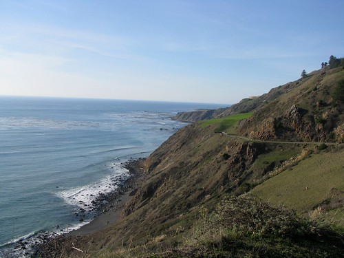
This is one of the most historically interesting parts of the coastline, mostly because it was barely noted at all in explorers' logs. The cliffs from this area up to Oregon are largely unbroken and offered no place for ships to land, and so explorers and traders simply passed by to Humboldt in the north or Bodega Bay to the south.

To avoid the end-of-weekend rush that always appears around Point Reyes on the coast, we took the Valley Ford cutoff inland towards Petaluma. The Chileno Valley is already a little green despite not having much rain yet this year.
A quick stop in Petaluma for requisite dairy products....
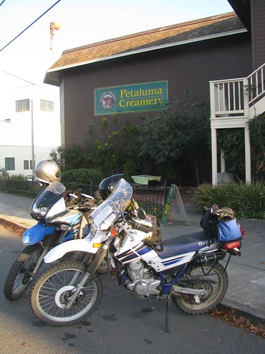
...and then we were pretty much home.

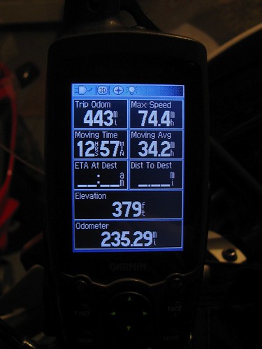
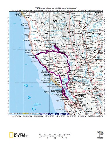
Trip maps: